We scan cities into
pointcloud reality
NeotechCity captures the real world at sub-2cm precision using mobile LiDAR and 360° panoramic imaging — transforming streets, buildings, and infrastructure into actionable 3D intelligence for smart cities and public administrations.
From urban planning to virtual tours and game-ready 3D models — one scan, infinite possibilities.
Building smarter cities through
precision spatial data
NeoTech leverages advanced Smart City technologies to scan physical structures and assets, converting them into detailed 3D and point-cloud models. By creating digital twins and immersive experiences, we provide valuable resources for urban planning, architecture, and game development — bridging the real world with the digital realm.
NeoTech leverages advanced Smart City technologies to scan physical structures and assets, converting them into detailed 3D and point-cloud models. By creating digital twins and immersive experiences, we provide valuable resources for urban planning, architecture, and game development — bridging the real world with the digital realm.
Data Capture
Vehicle-mounted scanners with high-resolution cameras, LiDAR, GPS, GNSS, IMU, and drones capture every detail of real-world environments at driving speed.
Digital Twins
Millions of data points form precise 3D point-cloud models — accurate representations of scanned assets, measurable down to the centimeter for any project.
AI-Enhanced Intelligence
AI-driven processing integrates and optimizes captured data, transforming raw scans into actionable intelligence for city planners, engineers, and developers.
Our scanning technology is deployed in major cities worldwide
Sector-specific intelligence,
powered by pointcloud
Our data is utilized by companies in telecommunications, construction, insurance, architecture, and by public authorities and governments. Every solution is built on the same foundation: real-world precision.
Utilities
Plan and execute utility restoration and infrastructure repairs more efficiently. Inspect pipelines, transformer stations, and distribution networks remotely — without leaving the office.
- Remote online inspections
- Vegetation management
- Asset tracking & maintenance
Communications
Accelerate time-to-market with high-quality network data. Capture real-world infrastructure data for FTTH and 5G deployments — reducing errors, delays, and cost overruns.
- 5G & FTTH planning
- Network infrastructure mapping
- Reduced CAPEX risk
Transport
Turn anything visible along the roadway into valuable data. Optimize logistics chains, plan special transport routes, and manage last-mile delivery with precise spatial intelligence.
- Route optimization
- Last-mile planning
- Obstacle detection
Safe City
Equip emergency services with precise ground-level intelligence. Fire departments, police, and ambulance teams can pre-plan missions and assess threats using high-resolution imagery.
- 112 emergency integration
- Threat assessment
- Pre-planning for first responders
Road AI
AI-powered road quality analysis that classifies surfaces as optimal, degraded, or critical. Automatically inventories traffic signs and road markings across entire networks.
- Road condition classification
- Sign & marking inventory
- Repair tracking
Smart Measurement
Measure points, lines, areas, and heights directly from LiDAR point cloud data or panoramic imagery. All measurements can be saved, exported, and integrated with existing GIS systems.
- LiDAR-based measurements
- Height & distance tools
- GIS integration
Our advanced mobile mapping system
Our cutting-edge digital twins use advanced scanning and AI technologies, including vehicle-mounted scanners with high-resolution cameras, LiDAR, GPS, GNSS, IMU, and drones for large-scale data capture. AI-enhanced processing integrates and optimizes data into precise point-cloud models.
See our mobile mapping system in action — cameras, LiDAR, and positioning technology capturing real-world data at driving speed.
360° Panoramic Cameras
High-resolution spherical imagery stitched from multi-camera arrays — capturing every detail of the street-level environment
LiDAR Laser Scanning
Integrated laser sensors capture dense point clouds — millions of data points forming precise 3D representations of real-world structures
Precision Positioning
GPS, GNSS, and IMU systems provide centimeter-accurate georeferencing for every captured data point
AI Cloud Processing
Powerful cloud-based software processes tens of millions of images and point clouds — stitching panoramas, calculating positions, and generating 3D models automatically
The advantages of Neotech technology
Efficiency
360° imagery with unique precision saves time — research any area virtually, anytime, anywhere.
Simplicity
Web-based usage is simple and intuitive. Geodata collected and maintained quickly and easily.
Integration
Connect to existing GIS systems and third-party platforms. Exchange data across different systems.
Precision
Evaluate road surfaces, cross-sections, markings, signage, and distances directly from your desk.
Watch our technology at work
Real footage of our scanning systems, data processing, and smart city solutions — explained step by step.
Street Smart — Platform Overview
A complete walkthrough of our street-level scanning and mapping platform for smart cities.
Smart City Technologies
How our technology transforms utilities, businesses, and city administration.
Road AI in Action
AI-powered road quality analysis and automatic sign inventory.
Safe City Solutions
How emergency services use street-level intelligence for faster response.
Scanning Quality — New York
See the stunning detail of our pointcloud scanning quality on the streets of New York.
AI Saving Lives at Every Intersection
How AI-powered intersection analysis improves road safety and saves lives in smart cities.
LiDAR for Smart Cities
A closer look at how LiDAR technology powers the smart city infrastructure of tomorrow.
Awards and national media appearances
Best Technology Company — Smart City Industry Awards 2022
Neotech was awarded Best Technology Company at the Smart City Industry Awards.
CEO Doru Borșan on TVR1 — „Banii Tăi”
National television interview about our technology and vision for smart cities.
From pointcloud to
playable 3D worlds
We don't just scan cities — we transform them into immersive 3D experiences. Our pointcloud data can be converted into game-ready assets, virtual tours, and digital twins that blur the line between reality and the virtual world.
Game-Ready 3D Models
GAMINGConvert pointcloud scans into optimized 3D meshes usable in game engines like Unreal Engine and Unity. Real cities become playable environments.
Virtual Tours
VR / ARImmersive VR experiences of real-world locations. Walk through streets, explore buildings, and visit any scanned location from anywhere.
3D City Models
DIGITAL TWINFull 3D reconstructions of urban areas — buildings, roads, vegetation, and infrastructure — ready for simulation, planning, and visualization.
Cinematic Flythroughs
VISUALIZATIONGenerate cinematic camera paths through real scanned environments. Perfect for presentations, urban planning proposals, and tourism.


One scan. Infinite possibilities.
Our pipeline: LiDAR scan → pointcloud processing → 3D mesh reconstruction → game engine optimization → deployment. The same data that helps a city plan its roads can power a virtual world.
From capture to delivery
Five standardized steps ensure the highest quality results — every time, every project.

Project Preparation
We define the geographic scope, obtain authorizations, and create a detailed project plan tailored to your needs.
Data Capture
Our trained operators drive equipped vehicles through target areas. The system captures 360° imagery and LiDAR point clouds simultaneously at normal driving speed.
Data Processing
Powerful cloud-based software processes tens of millions of images and point clouds — stitching panoramas, calculating positions, and generating 3D models.
Quality Control
Multiple quality checks throughout the pipeline: system calibration, image quality monitoring, and precise position validation. All data is GDPR-compliant with automatic anonymization.

Data Publishing & Delivery
Final data is published and accessible through our web tools — vast amounts of georeferenced imagery and point cloud data, ready for your team to use.
The people behind the scan

Doru Borsan
CEO

Vlad Olareanu
Technical Director

Melinda Chiruta
Administrator

Norbert Steff
Business Relations
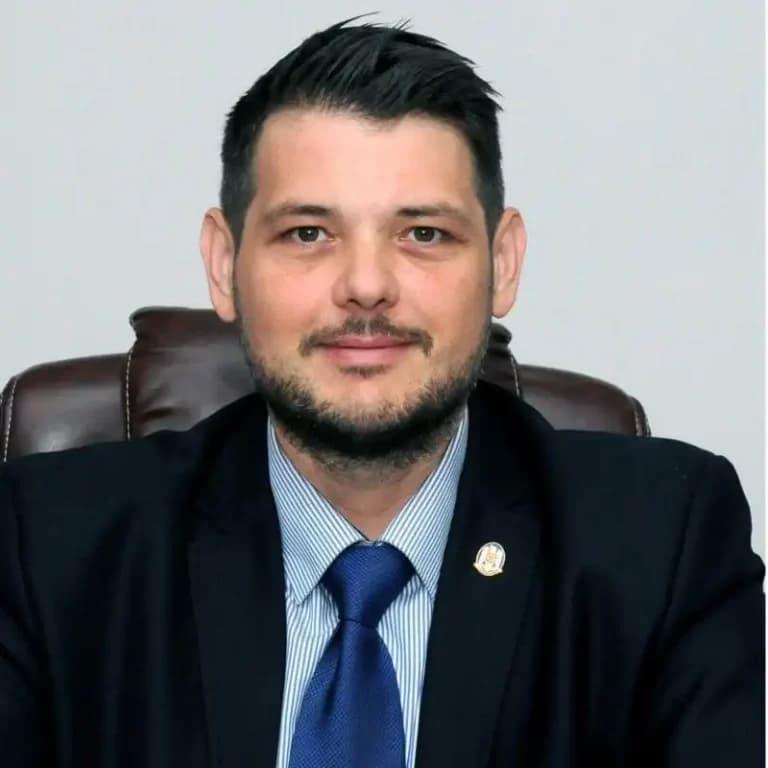
Ioan Gaf Deac
Smart City Strategy Expert
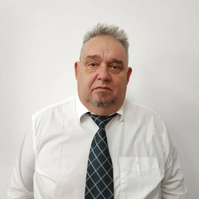
Cătălin Ioan Pop
Project Manager
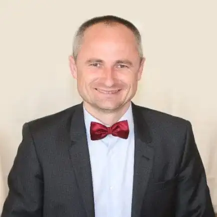
Ionel Albu
Head of Sales

Aron Samu
Data Protection Officer
Let's scan your city together
We are delighted with every message coming from everywhere. Whether you represent a municipality, a corporation, or have a creative 3D project in mind — contact us.
Email us
hello@neotech.city
Operating globally
Berlin · Vienna · Bucharest · New York